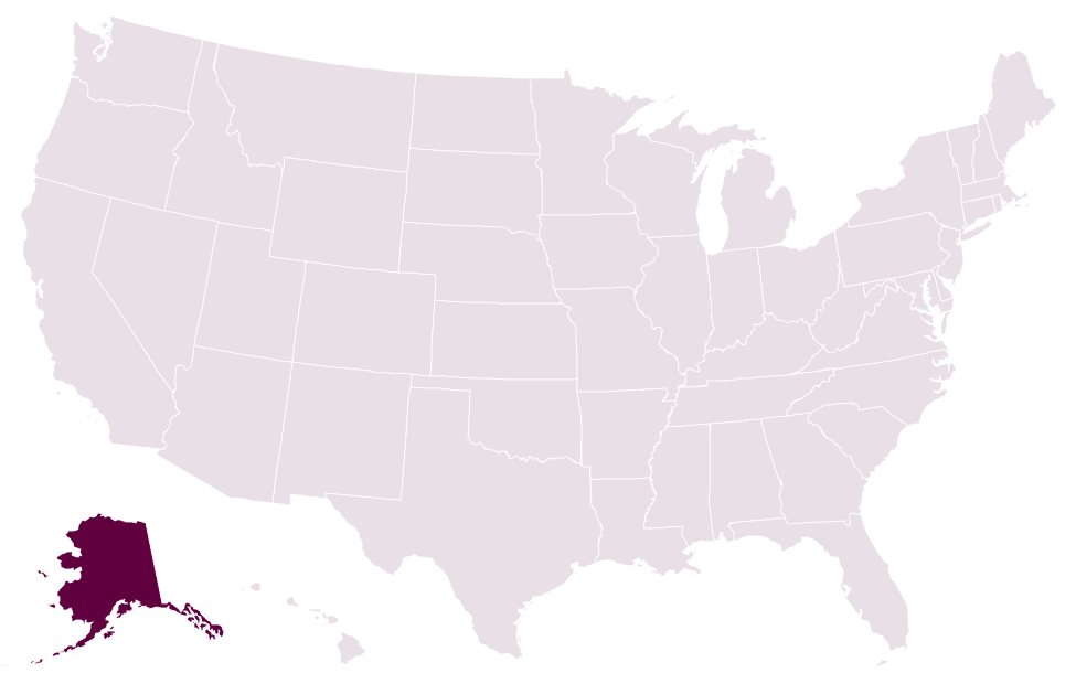
Question 1 of 20US states mapEasy
US states map quiz
How well do you really know the map of the United States? Each question shades one state in deep plum, from the giants out west to the tiny ones crowded along the East Coast. Name all 20 and pick up a fact after every answer.
A free quiz from Megan Moran, author of The Great American Quiz Book.
US Census Bureau (map data, via us-atlas) · Public domain US Census Bureau (map data, via us-atlas) · Public domain Question 2 of 20US states mapEasy
Which state is highlighted on this map?
US Census Bureau (map data, via us-atlas) · Public domain Question 3 of 20US states mapMedium
Which state is highlighted on this map?
US Census Bureau (map data, via us-atlas) · Public domain Question 4 of 20US states mapEasy
Which state is highlighted on this map?
US Census Bureau (map data, via us-atlas) · Public domain Question 5 of 20US states mapMedium
Which state is highlighted on this map?
US Census Bureau (map data, via us-atlas) · Public domain Question 6 of 20US states mapEasy
Which state is highlighted on this map?
US Census Bureau (map data, via us-atlas) · Public domain Question 7 of 20US states mapMedium
Which state is highlighted on this map?
US Census Bureau (map data, via us-atlas) · Public domain Question 8 of 20US states mapEasy
Which state is highlighted on this map?
US Census Bureau (map data, via us-atlas) · Public domain Question 9 of 20US states mapMedium
Which state is highlighted on this map?
US Census Bureau (map data, via us-atlas) · Public domain Question 10 of 20US states mapHard
Which state is highlighted on this map?
US Census Bureau (map data, via us-atlas) · Public domain Question 11 of 20US states mapEasy
Which state is highlighted on this map?
US Census Bureau (map data, via us-atlas) · Public domain Question 12 of 20US states mapMedium
Which state is highlighted on this map?
US Census Bureau (map data, via us-atlas) · Public domain Question 13 of 20US states mapHard
Which state is highlighted on this map?
US Census Bureau (map data, via us-atlas) · Public domain Question 14 of 20US states mapMedium
Which state is highlighted on this map?
US Census Bureau (map data, via us-atlas) · Public domain Question 15 of 20US states mapMedium
Which state is highlighted on this map?
US Census Bureau (map data, via us-atlas) · Public domain Question 16 of 20US states mapHard
Which state is highlighted on this map?
US Census Bureau (map data, via us-atlas) · Public domain Question 17 of 20US states mapMedium
Which state is highlighted on this map?
US Census Bureau (map data, via us-atlas) · Public domain Question 18 of 20US states mapHard
Which state is highlighted on this map?
US Census Bureau (map data, via us-atlas) · Public domain Question 19 of 20US states mapMedium
Which state is highlighted on this map?
US Census Bureau (map data, via us-atlas) · Public domain Question 20 of 20US states mapHard
Which state is highlighted on this map?
Answer all 20 to see your score.
Want more? The Great American Quiz Book has over 800 questions like these, ready for your next quiz night.

Want a free 100-question bonus quiz?
Show all the answers, with the facts behind them
- Which state is highlighted on this map? AlaskaAlaska's general coastline, about 6,640 miles long, is longer than those of all the other 49 states combined.
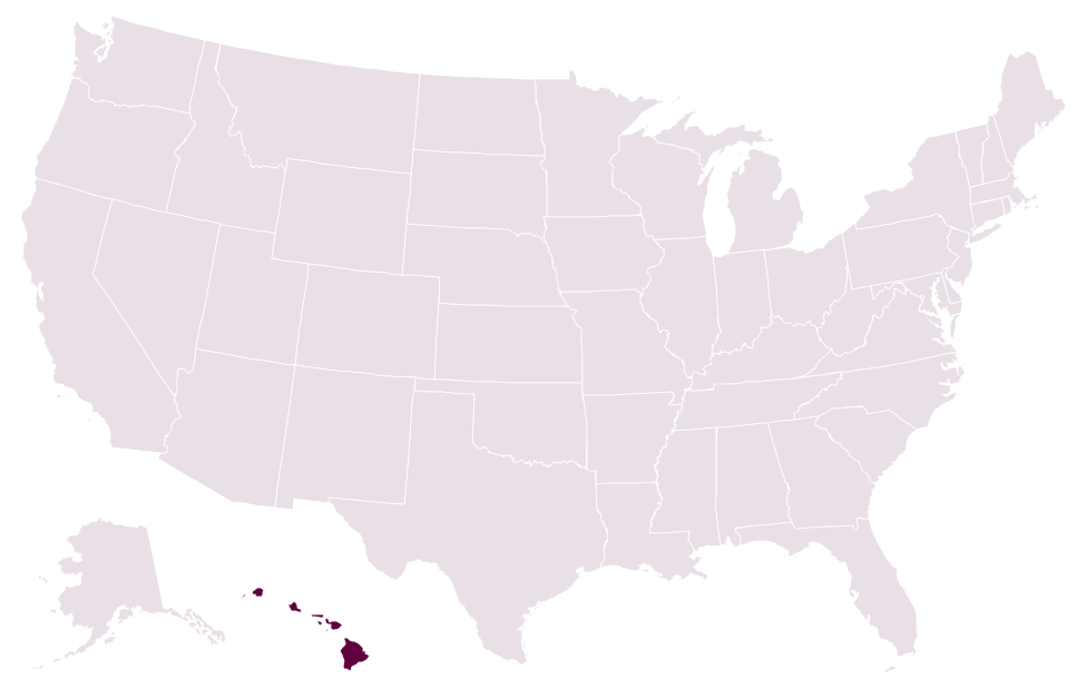
- Which state is highlighted on this map? HawaiiMeasured from its base on the ocean floor, Mauna Kea rises about 33,500 ft (10,211 m), taller than Mount Everest, though only about 13,800 ft is above sea level.
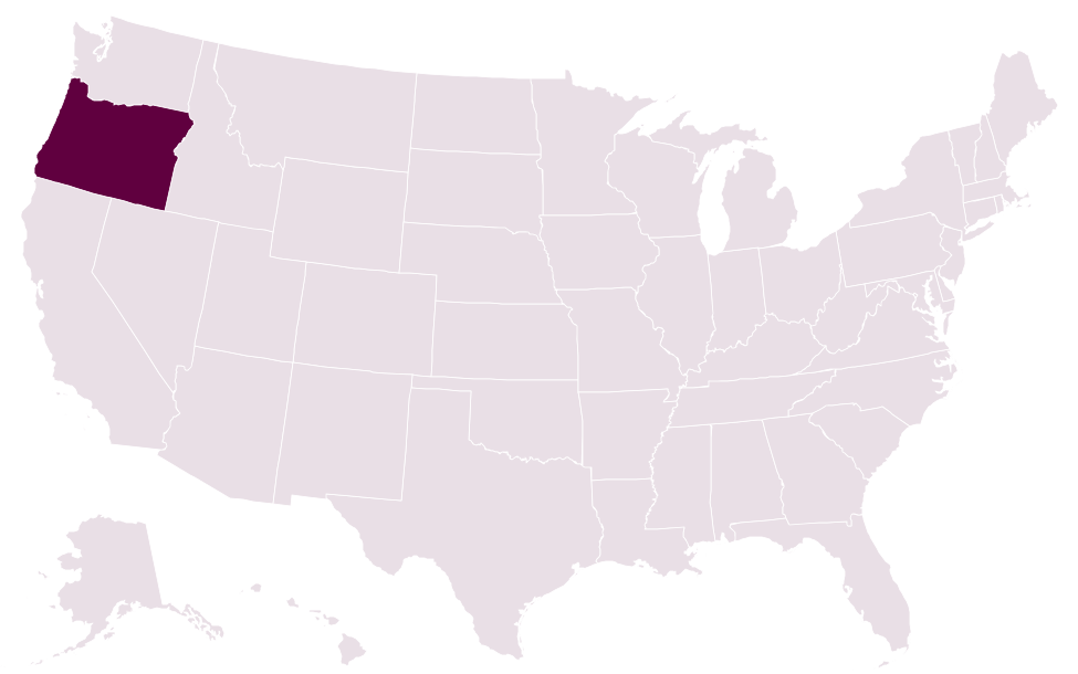
- Which state is highlighted on this map? OregonCrater Lake, which fills the collapsed caldera of an ancient volcano, is the deepest lake in the US at 1,943 ft (592 m).
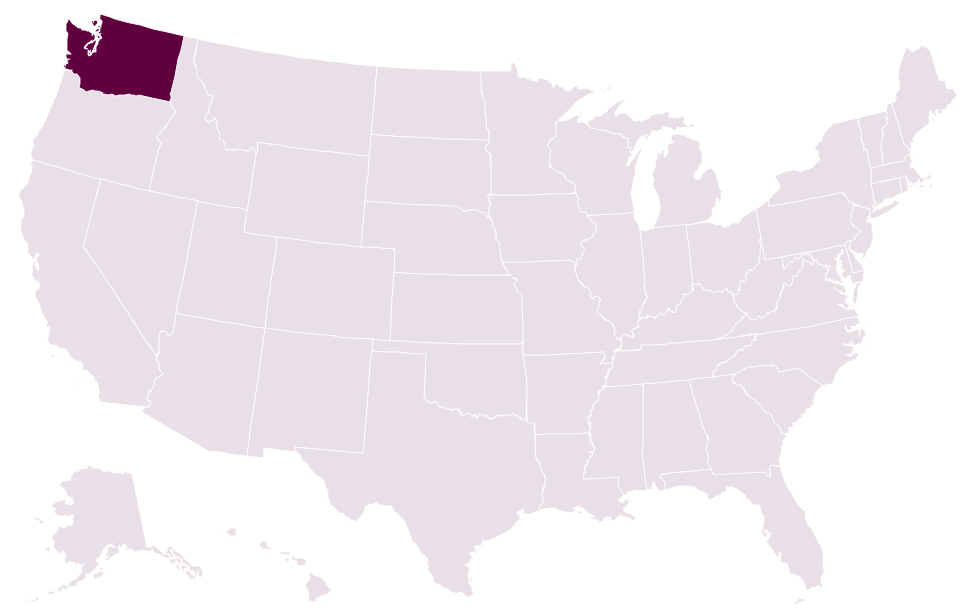
- Which state is highlighted on this map? WashingtonIt is the only US state named after a president, honoring George Washington, and it joined the Union in 1889.
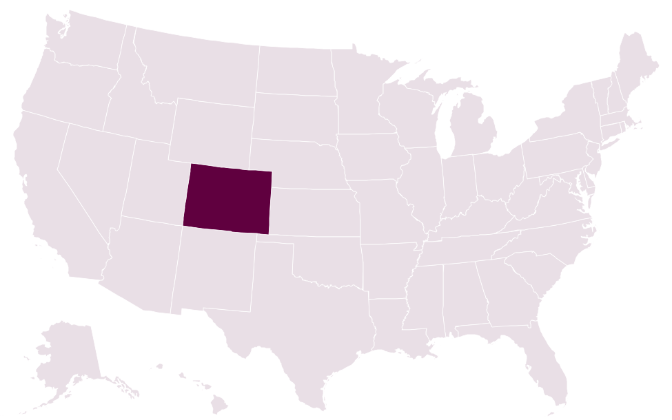
- Which state is highlighted on this map? ColoradoColorado has the highest average elevation of any US state, roughly 6,800 ft (2,073 m) above sea level.
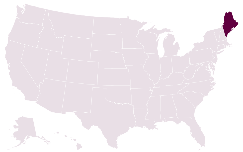
- Which state is highlighted on this map? MaineAbout 89% of Maine's land is covered by forest, the highest share of any US state.
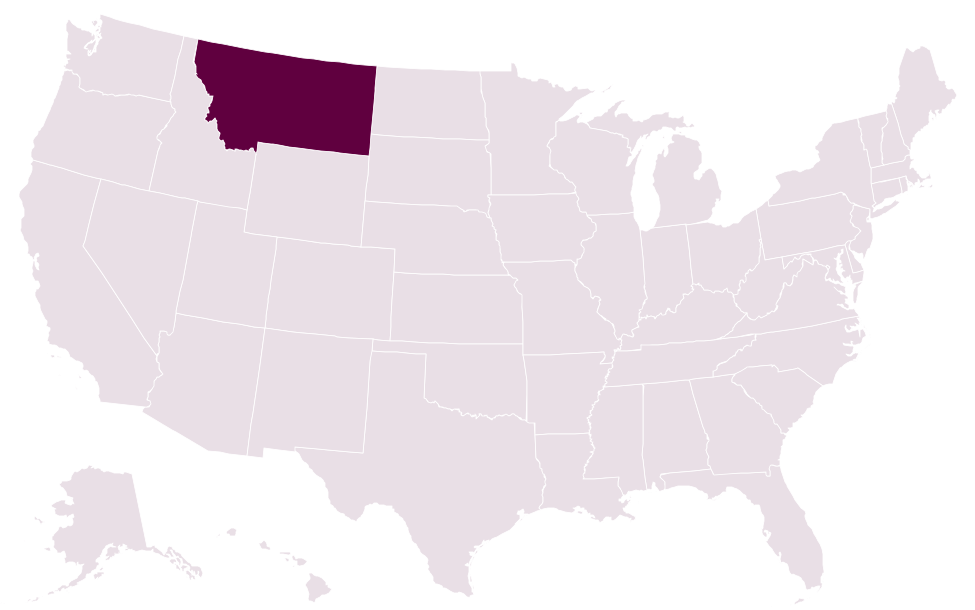
- Which state is highlighted on this map? MontanaWater falling on Triple Divide Peak in Montana's Glacier National Park can drain to three destinations: the Pacific Ocean, the Atlantic Ocean or Hudson Bay.
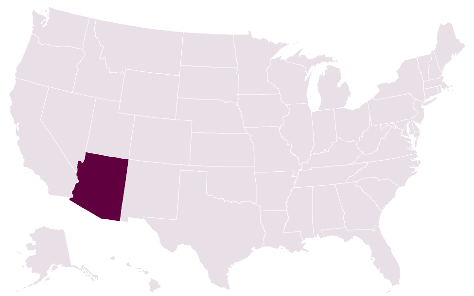
- Which state is highlighted on this map? ArizonaMost of Arizona skips daylight saving time and stays on Mountain Standard Time all year, but the Navajo Nation in its northeast does change its clocks.
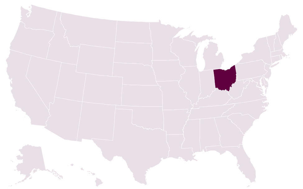
- Which state is highlighted on this map? OhioSeven US presidents were born in Ohio, including Ulysses S. Grant and William McKinley; only Virginia, with eight, can claim more.
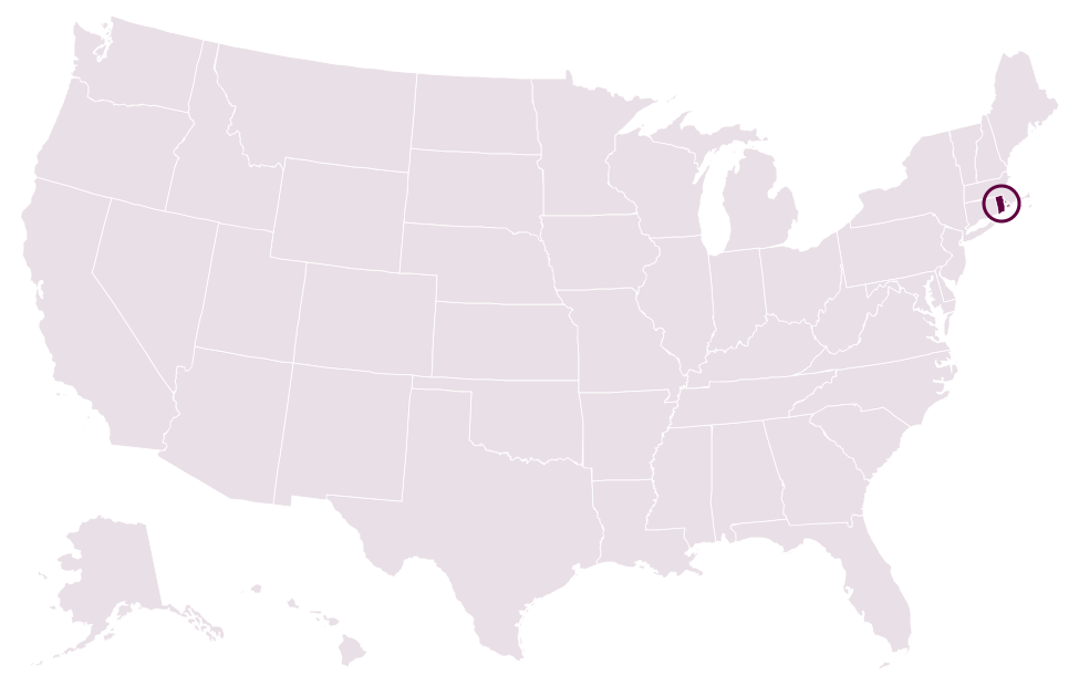
- Which state is highlighted on this map? Rhode IslandNewport's Touro Synagogue, dedicated in 1763, is the oldest synagogue building still standing in the United States.
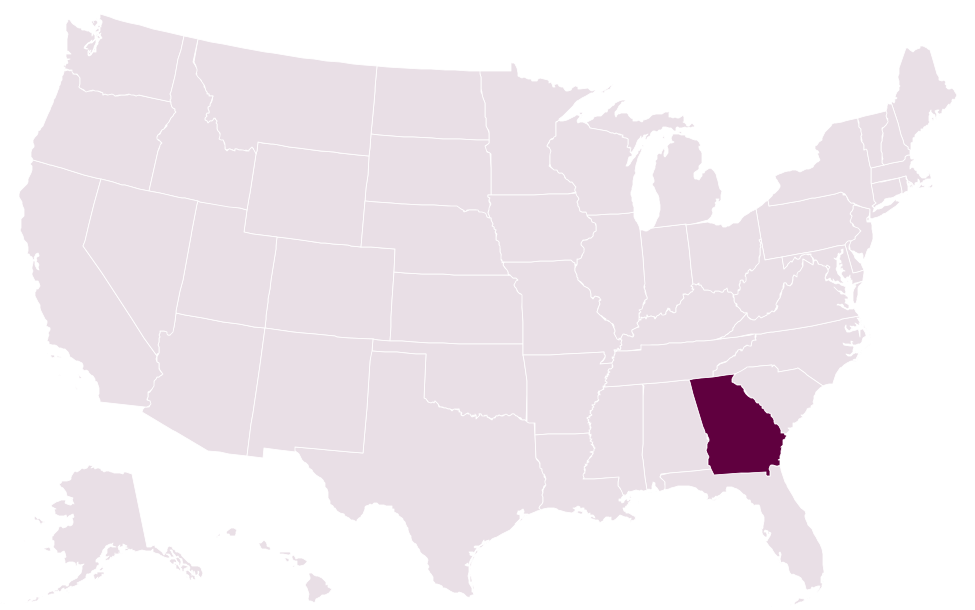
- Which state is highlighted on this map? GeorgiaChartered in 1732 and named for King George II, Georgia was the last of Britain's original 13 American colonies to be founded.
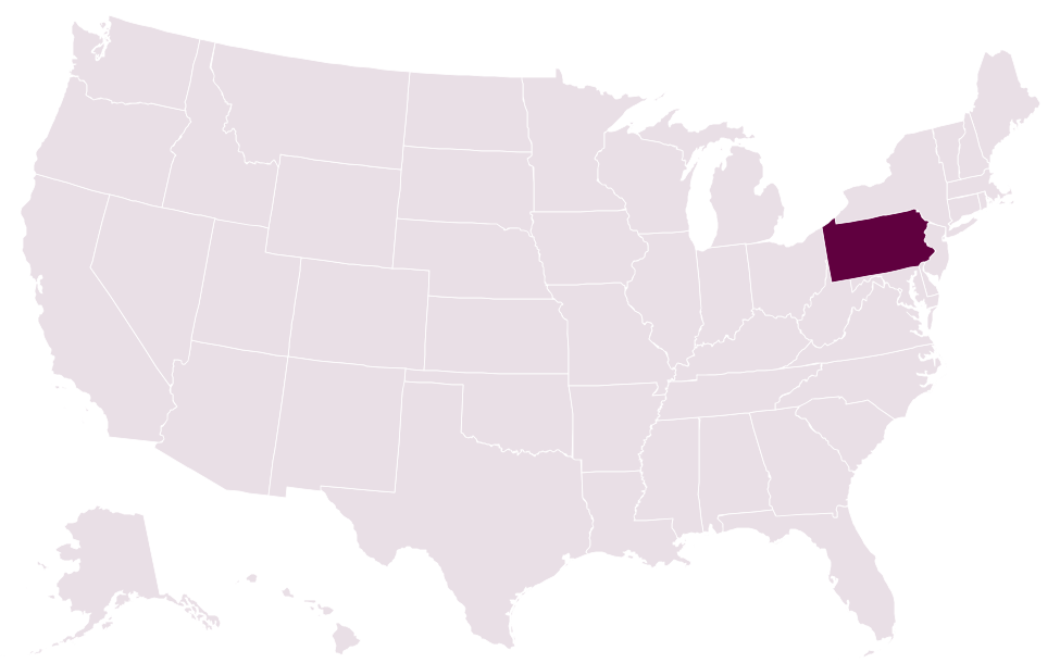
- Which state is highlighted on this map? PennsylvaniaBoth the Declaration of Independence and the US Constitution were debated and signed in the same building: Independence Hall in Philadelphia.
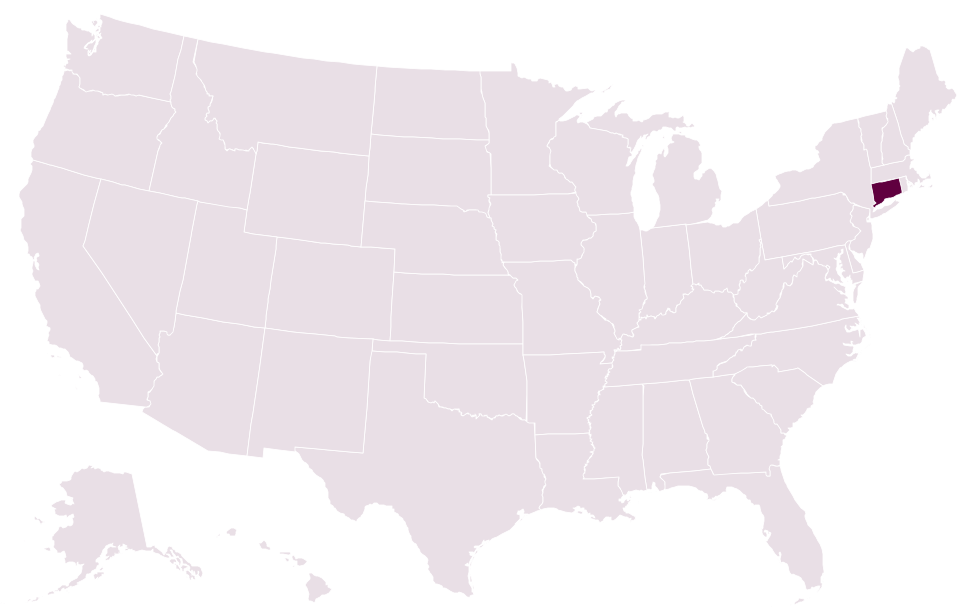
- Which state is highlighted on this map? ConnecticutUSS Nautilus, the first nuclear-powered submarine, was launched at Groton in 1954, and in 1958 it became the first vessel to reach the North Pole submerged.
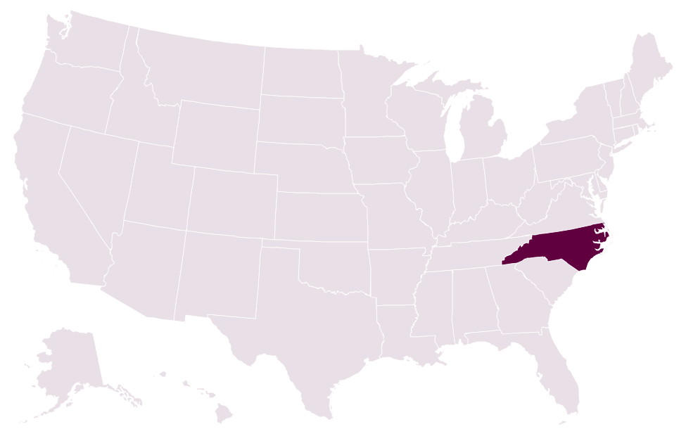
- Which state is highlighted on this map? North CarolinaOn December 17, 1903, the Wright brothers made the first powered airplane flights at Kill Devil Hills, near Kitty Hawk on the Outer Banks.
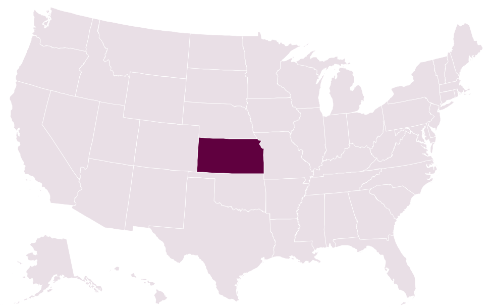
- Which state is highlighted on this map? KansasA 1918 survey placed the geographic center of the 48 contiguous states near Lebanon, Kansas, reportedly found by balancing a cardboard cutout of the country.
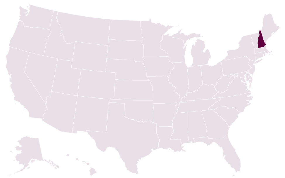
- Which state is highlighted on this map? New HampshireOn April 12, 1934, observers on Mount Washington recorded a 231 mph wind gust, a world record that stood for 62 years.
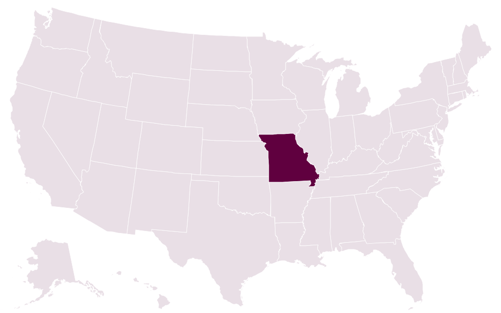
- Which state is highlighted on this map? MissouriThe Gateway Arch in St. Louis, completed in 1965, stands 630 ft (192 m) tall, making it the tallest arch in the world.
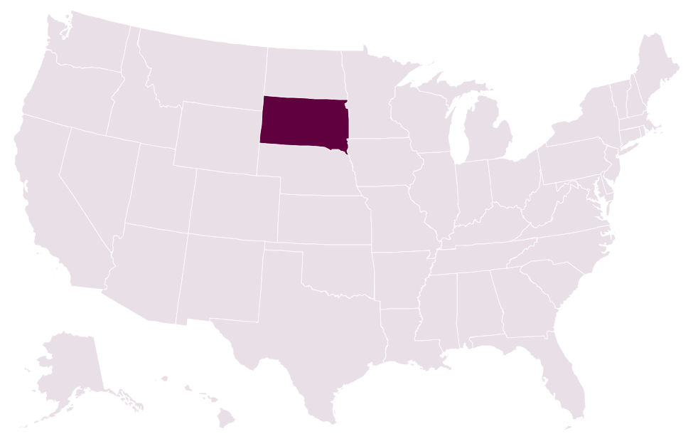
- Which state is highlighted on this map? South DakotaWind Cave, protected in 1903, was the first cave anywhere in the world to become a national park, and it holds most of the world's known boxwork formations.
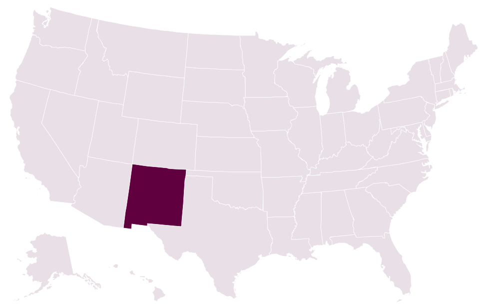
- Which state is highlighted on this map? New MexicoThe world's first nuclear explosion, the Trinity test, took place in the New Mexico desert on July 16, 1945.
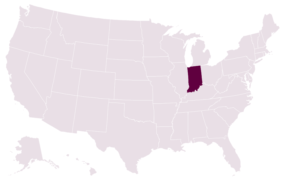
- Which state is highlighted on this map? IndianaVolunteer 'elves' in the town of Santa Claus, Indiana, answer thousands of children's letters to Santa every year, a tradition dating back to at least 1914.